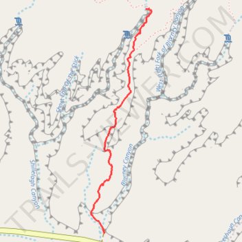
Shillelagh Canyon Approach
- Distance: 1.1 mi
- Elevation gain: 137 m
- Maximum elevation: 1,490 m
- Elevation loss: 24 m
- Minimum elevation: 1,371 m
- Moving time: 32 m 53 s
- Moving speed: 2.0 mph
- Maximum speed: 8.2 mph
- Total time: 34 m 24 s
- Global speed: 1.9 mph
Interactive trail map
Trail profile
- Distance: 1.1 mi
- Elevation gain: 137 m
- Maximum elevation: 1,490 m
- Elevation loss: 24 m
- Minimum elevation: 1,371 m
- Moving time: 32 m 53 s
- Moving speed: 2.0 mph
- Maximum speed: 8.2 mph
- Total time: 34 m 24 s
- Global speed: 1.9 mph
About this trail
Name: Shillelagh Canyon Approach trail, distance, elevation, map, profile, GPS track
Start: Blarney and Shillelagh Trailhead Parking, Garfield County, Utah, United States (38.02105 -110.54471)
End: Shillelagh Canyon Approach, Garfield County, Utah, United States (38.03306 -110.54187)
Coordinates: 38.02099 -110.54565 38.03307 -110.54145