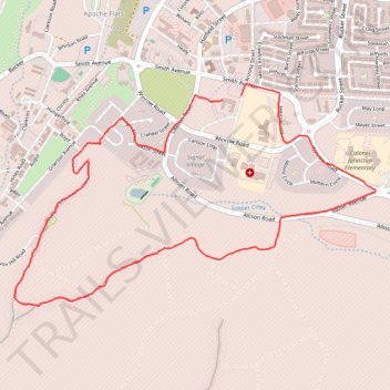
Huachuca Mountains Trail Loop
- Distance: 4.4 mi
- Elevation gain: 222 m
- Maximum elevation: 1,690 m
- Elevation loss: 226 m
- Minimum elevation: 1,479 m
- Moving time: 57 m 49 s
- Moving speed: 4.6 mph
- Maximum speed: 8.5 mph
- Total time: 59 m
- Global speed: 4.5 mph
Interactive trail map
Trail profile
- Distance: 4.4 mi
- Elevation gain: 222 m
- Maximum elevation: 1,690 m
- Elevation loss: 226 m
- Minimum elevation: 1,479 m
- Moving time: 57 m 49 s
- Moving speed: 4.6 mph
- Maximum speed: 8.5 mph
- Total time: 59 m
- Global speed: 4.5 mph
About this trail
Name: Huachuca Mountains Trail Loop trail, distance, elevation, map, profile, GPS track
Coordinates: 31.54080 -110.36876 31.55394 -110.34369