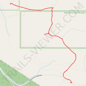
State Game Lands Number 34
- Distance: 8.5 mi
- Elevation gain: 231 m
- Maximum elevation: 665 m
- Elevation loss: 231 m
- Minimum elevation: 533 m
- Moving time: 1 h 40 m
- Moving speed: 5.1 mph
- Maximum speed: 11.9 mph
- Total time: 2 h 24 m
- Global speed: 3.5 mph
Interactive trail map
Trail profile
- Distance: 8.5 mi
- Elevation gain: 231 m
- Maximum elevation: 665 m
- Elevation loss: 231 m
- Minimum elevation: 533 m
- Moving time: 1 h 40 m
- Moving speed: 5.1 mph
- Maximum speed: 11.9 mph
- Total time: 2 h 24 m
- Global speed: 3.5 mph
About this trail
Name: State Game Lands Number 34 trail, distance, elevation, map, profile, GPS track
Coordinates: 41.25115 -78.38191 41.28219 -78.34774