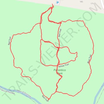
Pocantico Park
- Distance: 1.9 mi
- Elevation gain: 110 m
- Maximum elevation: 127 m
- Elevation loss: 109 m
- Minimum elevation: 77 m
- Moving time: 31 m 30 s
- Moving speed: 3.7 mph
- Maximum speed: 5.9 mph
- Total time: 31 m 30 s
- Global speed: 3.7 mph
Interactive trail map
Trail profile
- Distance: 1.9 mi
- Elevation gain: 110 m
- Maximum elevation: 127 m
- Elevation loss: 109 m
- Minimum elevation: 77 m
- Moving time: 31 m 30 s
- Moving speed: 3.7 mph
- Maximum speed: 5.9 mph
- Total time: 31 m 30 s
- Global speed: 3.7 mph
About this trail
Name: Pocantico Park trail, distance, elevation, map, profile, GPS track
Coordinates: 41.12349 -73.83097 41.12761 -73.82624
Other hiking, mountain biking, running and outdoor activity trails
Click on a trail to view its statistics, map and profile.