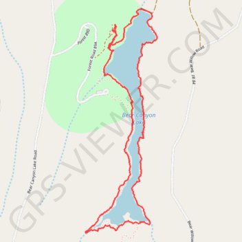
Bear canyon lake loop
- Distance: 3.7 mi
- Elevation gain: 157 m
- Maximum elevation: 2,337 m
- Elevation loss: 158 m
- Minimum elevation: 2,304 m
- Moving time: 1 h 44 m
- Moving speed: 2.2 mph
- Maximum speed: 5.7 mph
- Total time: 1 h 56 m
- Global speed: 1.9 mph
Interactive trail map
Trail profile
- Distance: 3.7 mi
- Elevation gain: 157 m
- Maximum elevation: 2,337 m
- Elevation loss: 158 m
- Minimum elevation: 2,304 m
- Moving time: 1 h 44 m
- Moving speed: 2.2 mph
- Maximum speed: 5.7 mph
- Total time: 1 h 56 m
- Global speed: 1.9 mph
About this trail
Name: Bear canyon lake loop trail, distance, elevation, map, profile, GPS track
Start: Mallard, Coconino County, Arizona, United States (34.40544 -111.00439)
End: Mallard, Coconino County, Arizona, United States (34.40560 -111.00424)
Coordinates: 34.39102 -111.00682 34.40701 -111.00054