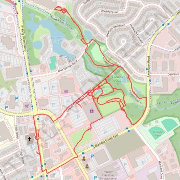
Thank you for supporting this site ❤️
Make a donation
Make a donation
Gear up for your next adventure:
As an Amazon Associate, this site earns from qualifying purchases at no extra cost to you.
Forwell Park Trails
- Distance: 3.9 mi
- Elevation gain: 54 m
- Maximum elevation: 343 m
- Elevation loss: 54 m
- Minimum elevation: 323 m
- Moving time: 1 h 14 m
- Moving speed: 3.1 mph
- Maximum speed: 8.8 mph
- Total time: 1 h 16 m
- Global speed: 3.1 mph
Interactive trail map
Thank you for supporting this site ❤️
Make a donation
Make a donation
Gear up for your next adventure:
As an Amazon Associate, this site earns from qualifying purchases at no extra cost to you.
Trail profile
- Distance: 3.9 mi
- Elevation gain: 54 m
- Maximum elevation: 343 m
- Elevation loss: 54 m
- Minimum elevation: 323 m
- Moving time: 1 h 14 m
- Moving speed: 3.1 mph
- Maximum speed: 8.8 mph
- Total time: 1 h 16 m
- Global speed: 3.1 mph
Thank you for supporting this site ❤️
Make a donation
Make a donation
Gear up for your next adventure:
As an Amazon Associate, this site earns from qualifying purchases at no extra cost to you.
About this trail
Name: Forwell Park Trails trail, distance, elevation, map, profile, GPS track
Coordinates: 43.48188 -80.52699 43.49097 -80.51849
Thank you for supporting this site ❤️
Make a donation
Make a donation
Gear up for your next adventure:
As an Amazon Associate, this site earns from qualifying purchases at no extra cost to you.