Coomloughra horseshoe
- Distance: 8.2 mi
- Elevation gain: 1,157 m
- Maximum elevation: 1,015 m
- Elevation loss: 1,165 m
- Minimum elevation: 135 m
- Moving time: 6 h 6 m
- Moving speed: 1.3 mph
- Maximum speed: 3.0 mph
- Total time: 8 h 40 m
- Global speed: 0.9 mph
Interactive trail map
Trail profile
- Distance: 8.2 mi
- Elevation gain: 1,157 m
- Maximum elevation: 1,015 m
- Elevation loss: 1,165 m
- Minimum elevation: 135 m
- Moving time: 6 h 6 m
- Moving speed: 1.3 mph
- Maximum speed: 3.0 mph
- Total time: 8 h 40 m
- Global speed: 0.9 mph
About this trail
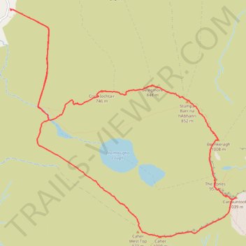
Name: Coomloughra horseshoe trail, distance, elevation, map, profile, GPS track
Coordinates: 51.99439 -9.78948 52.02338 -9.74264