Hike - Southern Old Stone Fort Park Trails
- Distance: 4.5 mi
- Elevation gain: 103 m
- Maximum elevation: 337 m
- Elevation loss: 103 m
- Minimum elevation: 283 m
- Moving time: 2 h 50 s
- Moving speed: 2.3 mph
- Maximum speed: 10.7 mph
- Total time: 2 h 37 m
- Global speed: 1.7 mph
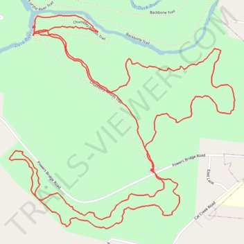
Interactive trail map
Trail profile
- Distance: 4.5 mi
- Elevation gain: 103 m
- Maximum elevation: 337 m
- Elevation loss: 103 m
- Minimum elevation: 283 m
- Moving time: 2 h 50 s
- Moving speed: 2.3 mph
- Maximum speed: 10.7 mph
- Total time: 2 h 37 m
- Global speed: 1.7 mph
About this trail
Name: Hike - Southern Old Stone Fort Park Trails trail, distance, elevation, map, profile, GPS track
Coordinates: 35.47036 -86.11186 35.47950 -86.09999
Other hiking, mountain biking, running and outdoor activity trails
Click on a trail to view its statistics, map and profile.
Gmaps Pedometer Route
United States > Kentucky > Fulton County > Hickman
Distance: 312.5 mi • Elevation gain: 4,204 m • Maximum elevation: 592 m