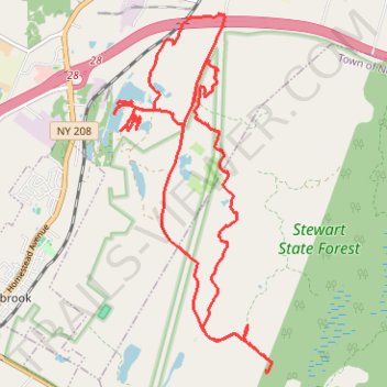
Stewart State Forest and Maybrook Reservoir
- Distance: 12.5 mi
- Elevation gain: 177 m
- Maximum elevation: 152 m
- Elevation loss: 177 m
- Minimum elevation: 111 m
- Moving time: 3 h 14 m
- Moving speed: 3.9 mph
- Maximum speed: 21.2 mph
- Total time: 6 h 28 m
- Global speed: 1.9 mph
Interactive trail map
Trail profile
- Distance: 12.5 mi
- Elevation gain: 177 m
- Maximum elevation: 152 m
- Elevation loss: 177 m
- Minimum elevation: 111 m
- Moving time: 3 h 14 m
- Moving speed: 3.9 mph
- Maximum speed: 21.2 mph
- Total time: 6 h 28 m
- Global speed: 1.9 mph
About this trail
Name: Stewart State Forest and Maybrook Reservoir trail, distance, elevation, map, profile, GPS track
Coordinates: 41.47480 -74.19951 41.51848 -74.17390