Crewe Parkrun
- Distance: 3.2 mi
- Elevation gain: 46 m
- Maximum elevation: 54 m
- Elevation loss: 41 m
- Minimum elevation: 41 m
- Moving time: 30 m 56 s
- Moving speed: 6.2 mph
- Maximum speed: 10.5 mph
- Total time: 30 m 56 s
- Global speed: 6.2 mph
Interactive trail map
Trail profile
- Distance: 3.2 mi
- Elevation gain: 46 m
- Maximum elevation: 54 m
- Elevation loss: 41 m
- Minimum elevation: 41 m
- Moving time: 30 m 56 s
- Moving speed: 6.2 mph
- Maximum speed: 10.5 mph
- Total time: 30 m 56 s
- Global speed: 6.2 mph
About this trail
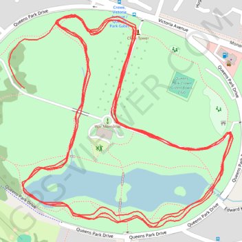
Name: Crewe Parkrun trail, distance, elevation, map, profile, GPS track
Coordinates: 53.09521 -2.47116 53.09871 -2.46502
Topography: Cheshire East topographic map, elevation, terrain