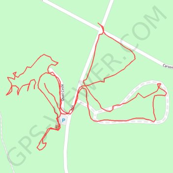
Walk around Quail and Turkey campgrounds
- Distance: 1.1 mi
- Elevation gain: 28 m
- Maximum elevation: 210 m
- Elevation loss: 26 m
- Minimum elevation: 191 m
- Moving time: 25 m 43 s
- Moving speed: 2.5 mph
- Maximum speed: 3.5 mph
- Total time: 36 m 33 s
- Global speed: 1.8 mph
Interactive trail map
Trail profile
- Distance: 1.1 mi
- Elevation gain: 28 m
- Maximum elevation: 210 m
- Elevation loss: 26 m
- Minimum elevation: 191 m
- Moving time: 25 m 43 s
- Moving speed: 2.5 mph
- Maximum speed: 3.5 mph
- Total time: 36 m 33 s
- Global speed: 1.8 mph
About this trail
Name: Walk around Quail and Turkey campgrounds trail, distance, elevation, map, profile, GPS track
Start: Quail Circle, McCurtain County, Oklahoma, United States (34.18093 -94.73136)
End: Quail Campground, Quail Circle, McCurtain County, Oklahoma, United States (34.18102 -94.73117)
Coordinates: 34.18000 -94.73187 34.18194 -94.72892