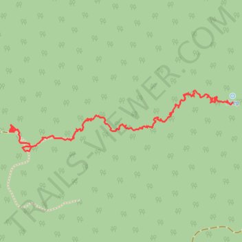
GoMap__2024_09_24__16_21_02
- Distance: 0.9 mi
- Elevation gain: 6 m
- Maximum elevation: 796 m
- Elevation loss: 159 m
- Minimum elevation: 639 m
- Moving time: 27 m 12 s
- Moving speed: 2.1 mph
- Maximum speed: 18.3 mph
- Total time: 29 m 36 s
- Global speed: 1.9 mph
Interactive trail map
Trail profile
- Distance: 0.9 mi
- Elevation gain: 6 m
- Maximum elevation: 796 m
- Elevation loss: 159 m
- Minimum elevation: 639 m
- Moving time: 27 m 12 s
- Moving speed: 2.1 mph
- Maximum speed: 18.3 mph
- Total time: 29 m 36 s
- Global speed: 1.9 mph
About this trail
Name: GoMap__2024_09_24__16_21_02 trail, distance, elevation, map, profile, GPS track
Start: Seep, Silver Butte Lookout Road, Douglas County, Oregon, United States (42.85587 -123.38905)
End: Douglas County, Oregon, United States (42.85518 -123.39710)
Coordinates: 42.85458 -123.39716 42.85621 -123.38905