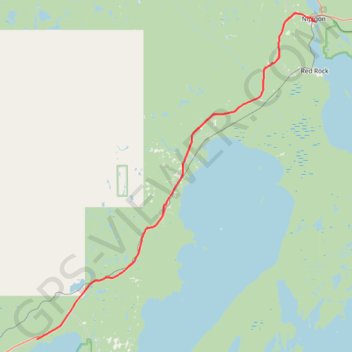
Shuniah - Nipigon
Lake Superior. #Bike #Shuniah #Nipigon #LakeSuperior
- Distance: 46.6 mi
- Elevation gain: 467 m
- Maximum elevation: 323 m
- Elevation loss: 518 m
- Minimum elevation: 183 m
Interactive trail map
Trail profile
- Distance: 46.6 mi
- Elevation gain: 467 m
- Maximum elevation: 323 m
- Elevation loss: 518 m
- Minimum elevation: 183 m
About this trail
Name: Shuniah - Nipigon trail, distance, elevation, map, profile, GPS track
Coordinates: 48.56350 -88.85195 49.02236 -88.25754