Socorro ride
Afternoon gravel ride
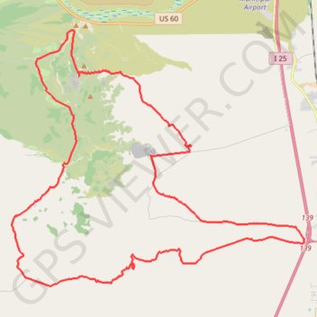
- Distance: 31.7 mi
- Elevation gain: 762 m
- Maximum elevation: 1,771 m
- Elevation loss: 762 m
- Minimum elevation: 1,418 m
- Moving time: 3 h 15 m
- Moving speed: 9.7 mph
- Maximum speed: 27.2 mph
- Total time: 3 h 40 m
- Global speed: 8.6 mph
Interactive trail map
Trail profile
- Distance: 31.7 mi
- Elevation gain: 762 m
- Maximum elevation: 1,771 m
- Elevation loss: 762 m
- Minimum elevation: 1,418 m
- Moving time: 3 h 15 m
- Moving speed: 9.7 mph
- Maximum speed: 27.2 mph
- Total time: 3 h 40 m
- Global speed: 8.6 mph
About this trail
Name: Socorro ride trail, distance, elevation, map, profile, GPS track
Start: Torreon Spring Road, Socorro County, New Mexico, United States (33.98472 -106.99050)
End: Torreon Spring Road, Socorro County, New Mexico, United States (33.98481 -106.99050)
Coordinates: 33.89912 -107.02251 34.00171 -106.88103