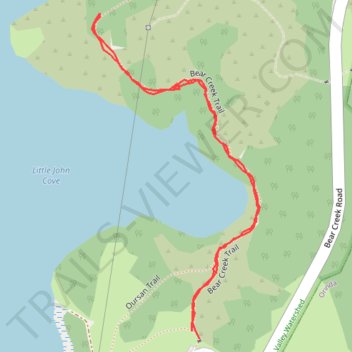
Trail near Briones Reservoir
- Distance: 0.8 mi
- Elevation gain: 54 m
- Maximum elevation: 205 m
- Elevation loss: 51 m
- Minimum elevation: 181 m
- Moving time: 39 m 4 s
- Moving speed: 1.2 mph
- Maximum speed: 3.4 mph
- Total time: 1 h 32 m
- Global speed: 0.5 mph
Interactive trail map
Trail profile
- Distance: 0.8 mi
- Elevation gain: 54 m
- Maximum elevation: 205 m
- Elevation loss: 51 m
- Minimum elevation: 181 m
- Moving time: 39 m 4 s
- Moving speed: 1.2 mph
- Maximum speed: 3.4 mph
- Total time: 1 h 32 m
- Global speed: 0.5 mph
About this trail
Name: Trail near Briones Reservoir trail, distance, elevation, map, profile, GPS track
Start: Oursan Trail, Contra Costa County, California, 94563, United States (37.91334 -122.20257)
End: Oursan Trail, Contra Costa County, California, 94563, United States (37.91325 -122.20245)
Coordinates: 37.91325 -122.20407 37.91711 -122.20155