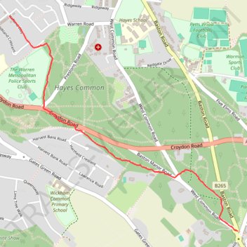
Path through Hayes Common
- Distance: 1.5 mi
- Elevation gain: 58 m
- Maximum elevation: 120 m
- Elevation loss: 3 m
- Minimum elevation: 64 m
- Moving time: 34 m 8 s
- Moving speed: 2.6 mph
- Maximum speed: 5.8 mph
- Total time: 34 m 8 s
- Global speed: 2.6 mph
Interactive trail map
Trail profile
- Distance: 1.5 mi
- Elevation gain: 58 m
- Maximum elevation: 120 m
- Elevation loss: 3 m
- Minimum elevation: 64 m
- Moving time: 34 m 8 s
- Moving speed: 2.6 mph
- Maximum speed: 5.8 mph
- Total time: 34 m 8 s
- Global speed: 2.6 mph
About this trail
Name: Path through Hayes Common trail, distance, elevation, map, profile, GPS track
Coordinates: 51.36270 0.00692 51.37467 0.02732
Topography: London topographic map, elevation, terrain