Vârful Retezat 2485m
- Distance: 8.8 mi
- Elevation gain: 1,303 m
- Maximum elevation: 2,476 m
- Elevation loss: 1,302 m
- Minimum elevation: 1,192 m
- Moving time: 5 h 44 m
- Moving speed: 1.5 mph
- Maximum speed: 4.9 mph
- Total time: 9 h 44 m
- Global speed: 0.9 mph
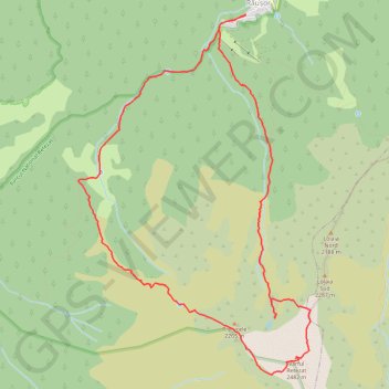
Interactive trail map
Trail profile
- Distance: 8.8 mi
- Elevation gain: 1,303 m
- Maximum elevation: 2,476 m
- Elevation loss: 1,302 m
- Minimum elevation: 1,192 m
- Moving time: 5 h 44 m
- Moving speed: 1.5 mph
- Maximum speed: 4.9 mph
- Total time: 9 h 44 m
- Global speed: 0.9 mph
About this trail
Name: Vârful Retezat 2485m trail, distance, elevation, map, profile, GPS track
Start: DJ686, Râușor, Râu de Mori, Hunedoara, Romania (45.41737 22.84174)
End: DJ686, Râușor, Râu de Mori, Hunedoara, Romania (45.41733 22.84167)
Coordinates: 45.37895 22.81621 45.41738 22.85156
Other hiking, mountain biking, running and outdoor activity trails
Click on a trail to view its statistics, map and profile.
Carnic - Peleaga - Bucura1 - Retezat - Muntii Retezat
Romania > Hunedoara > Sălașu de Sus
Distance: 16.2 mi • Elevation gain: 2,027 m • Maximum elevation: 2,490 m
Carnic - vârful Retezat
Romania > Hunedoara > Sălașu de Sus
Distance: 13.2 mi • Elevation gain: 1,603 m • Maximum elevation: 2,475 m