מסור - פוביצר
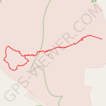
- Distance: 21.5 mi
- Elevation gain: 719 m
- Maximum elevation: 421 m
- Elevation loss: 739 m
- Minimum elevation: -71 m
Interactive trail map
Trail profile
- Distance: 21.5 mi
- Elevation gain: 719 m
- Maximum elevation: 421 m
- Elevation loss: 739 m
- Minimum elevation: -71 m
About this trail
Name: מסור - פוביצר trail, distance, elevation, map, profile, GPS track
Start: Arava Tichona Regional Council, Beersheba Subdistrict, South District, Israel (30.76946 35.18255)
Coordinates: 30.72984 35.06577 30.76978 35.19617