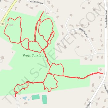
Pruyn Sanctuary
- Distance: 3.5 mi
- Elevation gain: 122 m
- Maximum elevation: 168 m
- Elevation loss: 122 m
- Minimum elevation: 127 m
- Moving time: 59 m 24 s
- Moving speed: 3.6 mph
- Maximum speed: 5.6 mph
- Total time: 1 h 12 m
- Global speed: 2.9 mph
Interactive trail map
Trail profile
- Distance: 3.5 mi
- Elevation gain: 122 m
- Maximum elevation: 168 m
- Elevation loss: 122 m
- Minimum elevation: 127 m
- Moving time: 59 m 24 s
- Moving speed: 3.6 mph
- Maximum speed: 5.6 mph
- Total time: 1 h 12 m
- Global speed: 2.9 mph
About this trail
Name: Pruyn Sanctuary trail, distance, elevation, map, profile, GPS track
Coordinates: 41.18888 -73.78084 41.19544 -73.77068
Other hiking, mountain biking, running and outdoor activity trails
Click on a trail to view its statistics, map and profile.