Cove Forest Hike
North Vancouver District Hiking
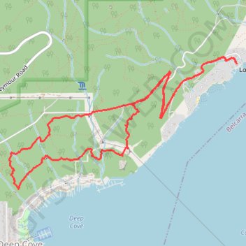
- Distance: 5.2 mi
- Elevation gain: 430 m
- Maximum elevation: 215 m
- Elevation loss: 436 m
- Minimum elevation: 5 m
- Moving time: 2 h 13 m
- Moving speed: 2.3 mph
- Maximum speed: 4.0 mph
- Total time: 2 h 21 m
- Global speed: 2.2 mph
Interactive trail map
Trail profile
- Distance: 5.2 mi
- Elevation gain: 430 m
- Maximum elevation: 215 m
- Elevation loss: 436 m
- Minimum elevation: 5 m
- Moving time: 2 h 13 m
- Moving speed: 2.3 mph
- Maximum speed: 4.0 mph
- Total time: 2 h 21 m
- Global speed: 2.2 mph
About this trail
Name: Cove Forest Hike trail, distance, elevation, map, profile, GPS track
Coordinates: 49.33150 -122.95167 49.34289 -122.92155
Other hiking, mountain biking, running and outdoor activity trails
Click on a trail to view its statistics, map and profile.