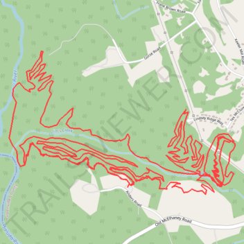
Saluda Confluence Recreation Area Mountain Bike Ride
- Distance: 16.8 mi
- Elevation gain: 551 m
- Maximum elevation: 332 m
- Elevation loss: 548 m
- Minimum elevation: 265 m
- Moving time: 1 h 41 m
- Moving speed: 9.9 mph
- Maximum speed: 21.6 mph
- Total time: 1 h 43 m
- Global speed: 9.8 mph
Interactive trail map
Trail profile
- Distance: 16.8 mi
- Elevation gain: 551 m
- Maximum elevation: 332 m
- Elevation loss: 548 m
- Minimum elevation: 265 m
- Moving time: 1 h 41 m
- Moving speed: 9.9 mph
- Maximum speed: 21.6 mph
- Total time: 1 h 43 m
- Global speed: 9.8 mph
About this trail
Name: Saluda Confluence Recreation Area Mountain Bike Ride trail, distance, elevation, map, profile, GPS track
Coordinates: 34.94924 -82.52398 34.96069 -82.50221