Oscawana Park
- Distance: 4.8 mi
- Elevation gain: 140 m
- Maximum elevation: 46 m
- Elevation loss: 141 m
- Minimum elevation: 3 m
- Moving time: 1 h 44 m
- Moving speed: 2.7 mph
- Maximum speed: 5.9 mph
- Total time: 2 h 17 s
- Global speed: 2.4 mph
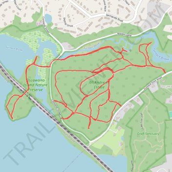
Interactive trail map
Trail profile
- Distance: 4.8 mi
- Elevation gain: 140 m
- Maximum elevation: 46 m
- Elevation loss: 141 m
- Minimum elevation: 3 m
- Moving time: 1 h 44 m
- Moving speed: 2.7 mph
- Maximum speed: 5.9 mph
- Total time: 2 h 17 s
- Global speed: 2.4 mph
About this trail
Name: Oscawana Park trail, distance, elevation, map, profile, GPS track
Coordinates: 41.22525 -73.92708 41.23052 -73.91424
Other hiking, mountain biking, running and outdoor activity trails
Click on a trail to view its statistics, map and profile.
Old Croton Aqueduct Trail and Bronx
United States > New York > Westchester County > Village of Croton-on-Hudson
Distance: 44.0 mi • Elevation gain: 823 m • Maximum elevation: 80 m