Badger Weir
- Distance: 2.5 mi
- Elevation gain: 130 m
- Maximum elevation: 320 m
- Elevation loss: 153 m
- Minimum elevation: 214 m
- Moving time: 45 m 46 s
- Moving speed: 3.3 mph
- Maximum speed: 10.0 mph
- Total time: 52 m 31 s
- Global speed: 2.8 mph
Interactive trail map
Trail profile
- Distance: 2.5 mi
- Elevation gain: 130 m
- Maximum elevation: 320 m
- Elevation loss: 153 m
- Minimum elevation: 214 m
- Moving time: 45 m 46 s
- Moving speed: 3.3 mph
- Maximum speed: 10.0 mph
- Total time: 52 m 31 s
- Global speed: 2.8 mph
About this trail
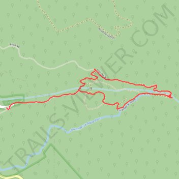
Name: Badger Weir trail, distance, elevation, map, profile, GPS track
Coordinates: -37.68700 145.56204 -37.68304 145.58269
Other hiking, mountain biking, running and outdoor activity trails
Click on a trail to view its statistics, map and profile.
Tallarook - Eildon - Hurstbridge
Australia > Victoria > Tallarook
#Bike
Distance: 173.2 mi • Elevation gain: 4,897 m • Maximum elevation: 868 m