
Havering Country Park - Hainault Forest loop
- Distance: 11.5 mi
- Elevation gain: 242 m
- Maximum elevation: 107 m
- Elevation loss: 239 m
- Minimum elevation: 33 m
Interactive trail map
Trail profile
- Distance: 11.5 mi
- Elevation gain: 242 m
- Maximum elevation: 107 m
- Elevation loss: 239 m
- Minimum elevation: 33 m
About this trail
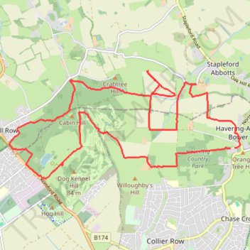
Name: Havering Country Park - Hainault Forest loop trail, distance, elevation, map, profile, GPS track
Coordinates: 51.61102 0.11696 51.63005 0.18314
Topography: Greater London topographic map, elevation, terrain