Leechburg Towpath Trail
- Distance: 2.4 mi
- Elevation gain: 40 m
- Maximum elevation: 249 m
- Elevation loss: 36 m
- Minimum elevation: 234 m
- Moving time: 12 m 48 s
- Moving speed: 11.3 mph
- Maximum speed: 15.1 mph
- Total time: 12 m 48 s
- Global speed: 11.3 mph
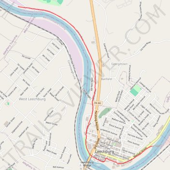
Interactive trail map
Trail profile
- Distance: 2.4 mi
- Elevation gain: 40 m
- Maximum elevation: 249 m
- Elevation loss: 36 m
- Minimum elevation: 234 m
- Moving time: 12 m 48 s
- Moving speed: 11.3 mph
- Maximum speed: 15.1 mph
- Total time: 12 m 48 s
- Global speed: 11.3 mph
About this trail
Name: Leechburg Towpath Trail trail, distance, elevation, map, profile, GPS track
Coordinates: 40.62551 -79.62057 40.64578 -79.59786