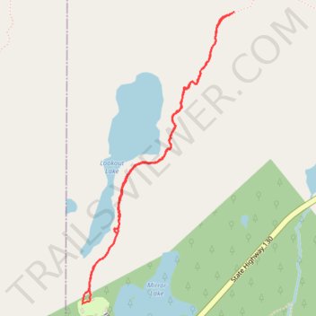
Hiking Lookout Lake Trail
- Distance: 2.5 mi
- Elevation gain: 126 m
- Maximum elevation: 3,340 m
- Elevation loss: 125 m
- Minimum elevation: 3,228 m
- Moving time: 1 h 23 m
- Moving speed: 1.8 mph
- Maximum speed: 3.2 mph
- Total time: 1 h 50 m
- Global speed: 1.3 mph
Interactive trail map
Trail profile
- Distance: 2.5 mi
- Elevation gain: 126 m
- Maximum elevation: 3,340 m
- Elevation loss: 125 m
- Minimum elevation: 3,228 m
- Moving time: 1 h 23 m
- Moving speed: 1.8 mph
- Maximum speed: 3.2 mph
- Total time: 1 h 50 m
- Global speed: 1.3 mph
About this trail
Name: Hiking Lookout Lake Trail trail, distance, elevation, map, profile, GPS track
Start: Mirror Lake Picnic Area, Lakes Trail, Albany County, Wyoming, United States (41.33835 -106.32357)
End: Mirror Lake Pg Road, Albany County, Wyoming, United States (41.33843 -106.32362)
Coordinates: 41.33830 -106.32370 41.35215 -106.31408