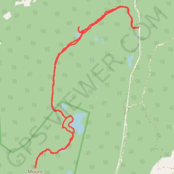
Hike up Mount Richardson
Hike
- Distance: 9.6 mi
- Elevation gain: 597 m
- Maximum elevation: 974 m
- Elevation loss: 597 m
- Minimum elevation: 590 m
- Moving time: 3 h 40 m
- Moving speed: 2.6 mph
- Maximum speed: 8.0 mph
- Total time: 4 h 21 m
- Global speed: 2.2 mph
Interactive trail map
Trail profile
- Distance: 9.6 mi
- Elevation gain: 597 m
- Maximum elevation: 974 m
- Elevation loss: 597 m
- Minimum elevation: 590 m
- Moving time: 3 h 40 m
- Moving speed: 2.6 mph
- Maximum speed: 8.0 mph
- Total time: 4 h 21 m
- Global speed: 2.2 mph
About this trail
Name: Hike up Mount Richardson trail, distance, elevation, map, profile, GPS track
Coordinates: 49.56929 -123.75577 49.60640 -123.71883