Cayce Riverwalk hike
- Distance: 3.9 mi
- Elevation gain: 43 m
- Maximum elevation: 48 m
- Elevation loss: 42 m
- Minimum elevation: 38 m
- Moving time: 1 h 35 m
- Moving speed: 2.4 mph
- Maximum speed: 5.3 mph
- Total time: 1 h 37 m
- Global speed: 2.4 mph
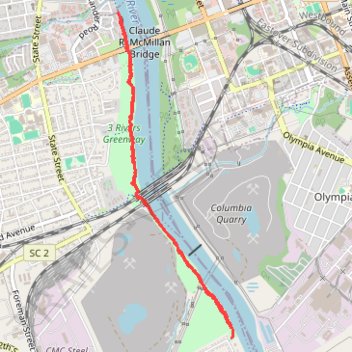
Interactive trail map
Trail profile
- Distance: 3.9 mi
- Elevation gain: 43 m
- Maximum elevation: 48 m
- Elevation loss: 42 m
- Minimum elevation: 38 m
- Moving time: 1 h 35 m
- Moving speed: 2.4 mph
- Maximum speed: 5.3 mph
- Total time: 1 h 37 m
- Global speed: 2.4 mph
About this trail
Name: Cayce Riverwalk hike trail, distance, elevation, map, profile, GPS track
Coordinates: 33.96606 -81.04902 33.99007 -81.03880