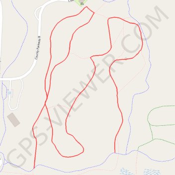
Trails Bunker Hill Park
- Distance: 1.5 mi
- Elevation gain: 8 m
- Maximum elevation: 280 m
- Elevation loss: 7 m
- Minimum elevation: 275 m
- Moving time: 30 m 14 s
- Moving speed: 3.0 mph
- Maximum speed: 3.9 mph
- Total time: 30 m 14 s
- Global speed: 3.0 mph
Interactive trail map
Trail profile
- Distance: 1.5 mi
- Elevation gain: 8 m
- Maximum elevation: 280 m
- Elevation loss: 7 m
- Minimum elevation: 275 m
- Moving time: 30 m 14 s
- Moving speed: 3.0 mph
- Maximum speed: 3.9 mph
- Total time: 30 m 14 s
- Global speed: 3.0 mph
About this trail
Name: Trails Bunker Hill Park trail, distance, elevation, map, profile, GPS track
Coordinates: 45.20317 -93.27979 45.20799 -93.27516