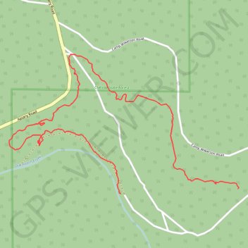
Paths in Camp Wilkerson
- Distance: 1.8 mi
- Elevation gain: 57 m
- Maximum elevation: 401 m
- Elevation loss: 87 m
- Minimum elevation: 349 m
- Moving time: 40 m 20 s
- Moving speed: 2.7 mph
- Maximum speed: 13.1 mph
- Total time: 42 m 43 s
- Global speed: 2.5 mph
Interactive trail map
Trail profile
- Distance: 1.8 mi
- Elevation gain: 57 m
- Maximum elevation: 401 m
- Elevation loss: 87 m
- Minimum elevation: 349 m
- Moving time: 40 m 20 s
- Moving speed: 2.7 mph
- Maximum speed: 13.1 mph
- Total time: 42 m 43 s
- Global speed: 2.5 mph
About this trail
Name: Paths in Camp Wilkerson trail, distance, elevation, map, profile, GPS track
Start: Columbia County, Oregon, United States (45.92757 -123.04938)
End: Camp Wilkerson Road, Columbia County, Oregon, United States (45.92737 -123.05614)
Coordinates: 45.92737 -123.06260 45.93298 -123.04933