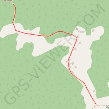
Ostrastena on GPSies.com
- Distance: 0.5 mi
- Elevation gain: 0 m
- Maximum elevation: 1,078 m
- Elevation loss: 63 m
- Minimum elevation: 1,015 m
- Moving time: 4 m 21 s
- Moving speed: 6.3 mph
- Maximum speed: 6.9 mph
- Total time: 4 m 21 s
- Global speed: 6.3 mph
Interactive trail map
Trail profile
- Distance: 0.5 mi
- Elevation gain: 0 m
- Maximum elevation: 1,078 m
- Elevation loss: 63 m
- Minimum elevation: 1,015 m
- Moving time: 4 m 21 s
- Moving speed: 6.3 mph
- Maximum speed: 6.9 mph
- Total time: 4 m 21 s
- Global speed: 6.3 mph
About this trail
Name: Ostrastena on GPSies.com trail, distance, elevation, map, profile, GPS track
Coordinates: 43.93652 19.44015 43.94034 19.44456
Other hiking, mountain biking, running and outdoor activity trails
Click on a trail to view its statistics, map and profile.
2022_Yu
Slovenia > Ajdovščina > Žapuže
Distance: 1,526.9 mi • Elevation gain: 32,048 m • Maximum elevation: 1,950 m