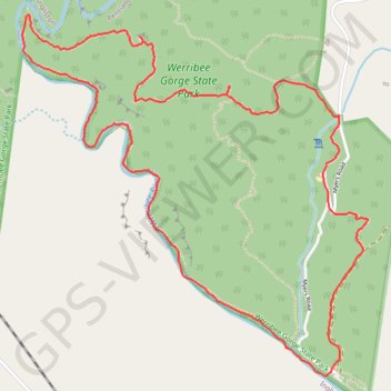
Werribee Gorge Circuit
Interactive trail map
Trail profile
- Distance: 4.9 mi
- Elevation gain: 358 m
- Maximum elevation: 346 m
- Elevation loss: 358 m
- Minimum elevation: 139 m
- Moving time: 2 h 5 m
- Moving speed: 2.4 mph
- Maximum speed: 8.4 mph
- Total time: 2 h 20 m
- Global speed: 2.1 mph
About this trail
Name: Werribee Gorge Circuit trail, distance, elevation, map, profile, GPS track
Coordinates: -37.67317 144.34579 -37.65634 144.36611
Other hiking, mountain biking, running and outdoor activity trails
Click on a trail to view its statistics, map and profile.