Top of Mountain over Arbutus Grove
- Distance: 11.3 mi
- Elevation gain: 397 m
- Maximum elevation: 544 m
- Elevation loss: 584 m
- Minimum elevation: 97 m
- Moving time: 1 h 19 m
- Moving speed: 8.6 mph
- Maximum speed: 50.6 mph
- Total time: 2 h 52 m
- Global speed: 3.9 mph
Interactive trail map
Trail profile
- Distance: 11.3 mi
- Elevation gain: 397 m
- Maximum elevation: 544 m
- Elevation loss: 584 m
- Minimum elevation: 97 m
- Moving time: 1 h 19 m
- Moving speed: 8.6 mph
- Maximum speed: 50.6 mph
- Total time: 2 h 52 m
- Global speed: 3.9 mph
About this trail
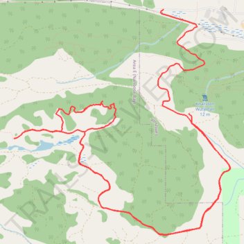
Name: Top of Mountain over Arbutus Grove trail, distance, elevation, map, profile, GPS track
Coordinates: 49.21636 -124.16196 49.24499 -124.11993
Other hiking, mountain biking, running and outdoor activity trails
Click on a trail to view its statistics, map and profile.
Sproat Lake - Nanaimo
Canada > British Columbia > Alberni-Clayoquot Regional District > Area D (Sproat Lake)
Distance: 54.0 mi • Elevation gain: 1,273 m • Maximum elevation: 422 m