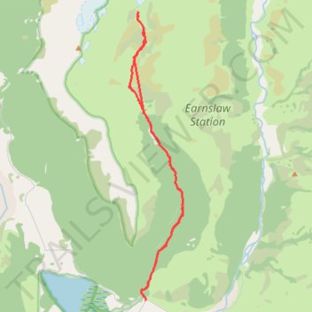
Earnslaw Burn Track to Gilkison Falls Viewpoint
- Distance: 16.0 mi
- Elevation gain: 969 m
- Maximum elevation: 949 m
- Elevation loss: 969 m
- Minimum elevation: 378 m
- Moving time: 9 h 8 m
- Moving speed: 1.7 mph
- Maximum speed: 5.7 mph
- Total time: 11 h 47 m
- Global speed: 1.4 mph
Interactive trail map
Trail profile
- Distance: 16.0 mi
- Elevation gain: 969 m
- Maximum elevation: 949 m
- Elevation loss: 969 m
- Minimum elevation: 378 m
- Moving time: 9 h 8 m
- Moving speed: 1.7 mph
- Maximum speed: 5.7 mph
- Total time: 11 h 47 m
- Global speed: 1.4 mph
About this trail
Name: Earnslaw Burn Track to Gilkison Falls Viewpoint trail, distance, elevation, map, profile, GPS track
Coordinates: -44.74038 168.40290 -44.64694 168.42775