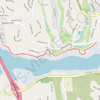
Import a GPX file

Batiquitos Lagoon

Hike along the Batiquitos Lagoon on the Batiquitos Lagoon Nature Trail in Aviara. #Hiking #Naure #Lake #Forest

  • Distance: 1.6 mi
  • Elevation gain: 24 m
  • Maximum elevation: 11 m
  • Elevation loss: 21 m
  • Minimum elevation: 1 m

Interactive trail map

Trail profile

  • Distance: 1.6 mi
  • Elevation gain: 24 m
  • Maximum elevation: 11 m
  • Elevation loss: 21 m
  • Minimum elevation: 1 m

About this trail

Gear up for your next adventure:

🥾Trekking Poles - Poles to improve stability on uneven terrain
🍲Portable Camping Stoves - Fast-boiling stoves for hot meals on remote topographic survey trips
🧼Biodegradable Soap - Leave-no-trace hygiene for multi-day mountain treks
📚UK Hiking Guidebooks - Detailed route descriptions for the Lake District, Peaks, and Highlands
👟Waterproof Leg Gaiters - Keep mud and water out of your boots in boggy terrain

As an Amazon Associate, this site earns from qualifying purchases at no extra cost to you.