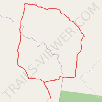
Johnstown to Elgin Vale loop
- Distance: 22.6 mi
- Elevation gain: 488 m
- Maximum elevation: 516 m
- Elevation loss: 487 m
- Minimum elevation: 346 m
- Moving time: 2 h 12 m
- Moving speed: 10.2 mph
- Maximum speed: 36.8 mph
- Total time: 2 h 33 m
- Global speed: 8.8 mph
Interactive trail map
Trail profile
- Distance: 22.6 mi
- Elevation gain: 488 m
- Maximum elevation: 516 m
- Elevation loss: 487 m
- Minimum elevation: 346 m
- Moving time: 2 h 12 m
- Moving speed: 10.2 mph
- Maximum speed: 36.8 mph
- Total time: 2 h 33 m
- Global speed: 8.8 mph
About this trail
Name: Johnstown to Elgin Vale loop trail, distance, elevation, map, profile, GPS track
End: Manumbar Road, Johnstown, South Burnett Regional, Queensland, Australia (-26.46490 152.15752)
Coordinates: -26.46518 152.11599 -26.35864 152.20006
Other hiking, mountain biking, running and outdoor activity trails
Click on a trail to view its statistics, map and profile.
Manumbar and Elgin Vale
Barambah, Manumbar, Elgin Vale, Queensland
Distance: 30.5 mi • Elevation gain: 791 m • Maximum elevation: 515 m