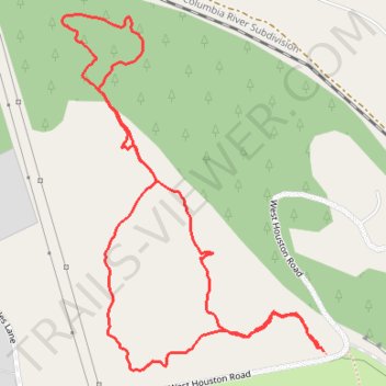
Palisades Park loop walk
- Distance: 1.3 mi
- Elevation gain: 38 m
- Maximum elevation: 683 m
- Elevation loss: 37 m
- Minimum elevation: 651 m
- Moving time: 27 m 10 s
- Moving speed: 3.0 mph
- Maximum speed: 4.1 mph
- Total time: 36 m 6 s
- Global speed: 2.2 mph
Interactive trail map
Trail profile
- Distance: 1.3 mi
- Elevation gain: 38 m
- Maximum elevation: 683 m
- Elevation loss: 37 m
- Minimum elevation: 651 m
- Moving time: 27 m 10 s
- Moving speed: 3.0 mph
- Maximum speed: 4.1 mph
- Total time: 36 m 6 s
- Global speed: 2.2 mph
About this trail
Name: Palisades Park loop walk trail, distance, elevation, map, profile, GPS track
Start: 2205, West Houston Road, Spokane County, Washington, 99224, United States (47.67717 -117.49051)
End: 2203, West Houston Road, Spokane County, Washington, 99224, United States (47.67711 -117.49047)
Coordinates: 47.67683 -117.49611 47.68201 -117.49047