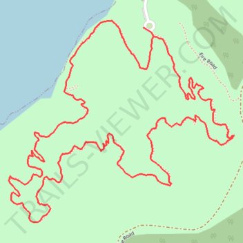
Cedar Hill State Park short loop hike
- Distance: 2.7 mi
- Elevation gain: 43 m
- Maximum elevation: 186 m
- Elevation loss: 46 m
- Minimum elevation: 160 m
- Moving time: 56 m 10 s
- Moving speed: 2.9 mph
- Maximum speed: 3.8 mph
- Total time: 58 m 14 s
- Global speed: 2.8 mph
Interactive trail map
Trail profile
- Distance: 2.7 mi
- Elevation gain: 43 m
- Maximum elevation: 186 m
- Elevation loss: 46 m
- Minimum elevation: 160 m
- Moving time: 56 m 10 s
- Moving speed: 2.9 mph
- Maximum speed: 3.8 mph
- Total time: 58 m 14 s
- Global speed: 2.8 mph
About this trail
Name: Cedar Hill State Park short loop hike trail, distance, elevation, map, profile, GPS track
Start: South Spine Road, Cedar Hill, Dallas County, Texas, 75054, United States (32.60991 -96.99737)
End: South Spine Road, Cedar Hill, Dallas County, Texas, 75054, United States (32.61012 -96.99772)
Coordinates: 32.60397 -97.00275 32.61034 -96.99431