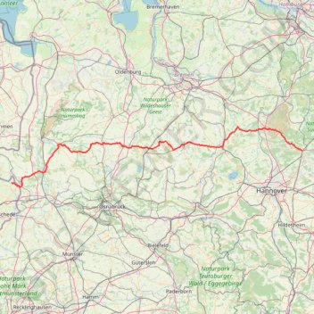
Dag 3 BRemerweg tot Lattrop
- Distance: 172.1 mi
- Elevation gain: 643 m
- Maximum elevation: 80 m
- Elevation loss: 668 m
- Minimum elevation: 17 m
Interactive trail map
Trail profile
- Distance: 172.1 mi
- Elevation gain: 643 m
- Maximum elevation: 80 m
- Elevation loss: 668 m
- Minimum elevation: 17 m
About this trail
Name: Dag 3 BRemerweg tot Lattrop trail, distance, elevation, map, profile, GPS track
Coordinates: 52.39676 6.97906 52.78540 10.06300
Other hiking, mountain biking, running and outdoor activity trails
Click on a trail to view its statistics, map and profile.
Weser-Radweg on GPSies.com
Germany > Lower Saxony > Landkreis Göttingen > Hann. Münden
Distance: 245.5 mi • Elevation gain: 2,442 m • Maximum elevation: 215 m
PT23BS1 Kiel → Lörrach
Germany > Schleswig-Holstein > Kiel
Distance: 650.4 mi • Elevation gain: 9,265 m • Maximum elevation: 757 m