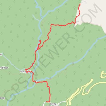
Nohkalikai Falls - Nongriat
- Distance: 5.0 mi
- Elevation gain: 476 m
- Maximum elevation: 1,324 m
- Elevation loss: 1,098 m
- Minimum elevation: 314 m
Interactive trail map
Trail profile
- Distance: 5.0 mi
- Elevation gain: 476 m
- Maximum elevation: 1,324 m
- Elevation loss: 1,098 m
- Minimum elevation: 314 m
About this trail
Name: Nohkalikai Falls - Nongriat trail, distance, elevation, map, profile, GPS track
Coordinates: 25.24161 91.67150 25.27161 91.69001