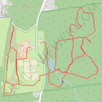
Hilltop Hanover Hike
- Distance: 4.2 mi
- Elevation gain: 152 m
- Maximum elevation: 210 m
- Elevation loss: 152 m
- Minimum elevation: 152 m
- Moving time: 1 h 25 m
- Moving speed: 3.0 mph
- Maximum speed: 5.6 mph
- Total time: 1 h 26 m
- Global speed: 3.0 mph
Interactive trail map
Trail profile
- Distance: 4.2 mi
- Elevation gain: 152 m
- Maximum elevation: 210 m
- Elevation loss: 152 m
- Minimum elevation: 152 m
- Moving time: 1 h 25 m
- Moving speed: 3.0 mph
- Maximum speed: 5.6 mph
- Total time: 1 h 26 m
- Global speed: 3.0 mph
About this trail
Name: Hilltop Hanover Hike trail, distance, elevation, map, profile, GPS track
Coordinates: 41.24813 -73.77639 41.25569 -73.76553
Other hiking, mountain biking, running and outdoor activity trails
Click on a trail to view its statistics, map and profile.