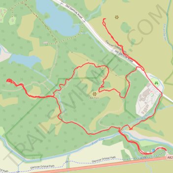
Signal Rock and Hagrid's Hut Loop
- Distance: 2.3 mi
- Elevation gain: 84 m
- Maximum elevation: 100 m
- Elevation loss: 83 m
- Minimum elevation: 52 m
- Moving time: 1 h 18 m
- Moving speed: 1.8 mph
- Maximum speed: 3.5 mph
- Total time: 1 h 52 m
- Global speed: 1.2 mph
Interactive trail map
Trail profile
- Distance: 2.3 mi
- Elevation gain: 84 m
- Maximum elevation: 100 m
- Elevation loss: 83 m
- Minimum elevation: 52 m
- Moving time: 1 h 18 m
- Moving speed: 1.8 mph
- Maximum speed: 3.5 mph
- Total time: 1 h 52 m
- Global speed: 1.2 mph
About this trail
Name: Signal Rock and Hagrid's Hut Loop trail, distance, elevation, map, profile, GPS track
Coordinates: 56.66182 -5.06750 56.66759 -5.05511
Topography: Highland topographic map, elevation, terrain
Other hiking, mountain biking, running and outdoor activity trails
Click on a trail to view its statistics, map and profile.