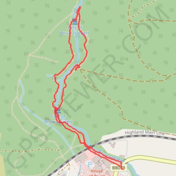
Run-walk around the Falls of Bruar
- Distance: 1.7 mi
- Elevation gain: 136 m
- Maximum elevation: 271 m
- Elevation loss: 134 m
- Minimum elevation: 159 m
- Moving time: 33 m 8 s
- Moving speed: 3.1 mph
- Maximum speed: 8.7 mph
- Total time: 37 m 26 s
- Global speed: 2.8 mph
Interactive trail map
Trail profile
- Distance: 1.7 mi
- Elevation gain: 136 m
- Maximum elevation: 271 m
- Elevation loss: 134 m
- Minimum elevation: 159 m
- Moving time: 33 m 8 s
- Moving speed: 3.1 mph
- Maximum speed: 8.7 mph
- Total time: 37 m 26 s
- Global speed: 2.8 mph
About this trail
Name: Run-walk around the Falls of Bruar trail, distance, elevation, map, profile, GPS track
Start: B8079, Pitagowan, Perth and Kinross, Scotland, PH18 5TZ, United Kingdom (56.77071 -3.92793)
End: B8079, Pitagowan, Perth and Kinross, Scotland, PH18 5TZ, United Kingdom (56.77087 -3.92826)
Coordinates: 56.77071 -3.93480 56.77939 -3.92793
Topography: Perth and Kinross topographic map, elevation, terrain