Mooresville Trail Run
- Distance: 4.4 mi
- Elevation gain: 56 m
- Maximum elevation: 270 m
- Elevation loss: 58 m
- Minimum elevation: 247 m
- Moving time: 1 h 1 m
- Moving speed: 4.4 mph
- Maximum speed: 7.7 mph
- Total time: 1 h 1 m
- Global speed: 4.3 mph
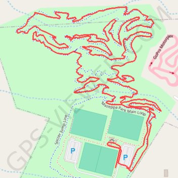
Interactive trail map
Trail profile
- Distance: 4.4 mi
- Elevation gain: 56 m
- Maximum elevation: 270 m
- Elevation loss: 58 m
- Minimum elevation: 247 m
- Moving time: 1 h 1 m
- Moving speed: 4.4 mph
- Maximum speed: 7.7 mph
- Total time: 1 h 1 m
- Global speed: 4.3 mph
About this trail
Name: Mooresville Trail Run trail, distance, elevation, map, profile, GPS track
Coordinates: 35.63642 -80.79880 35.64296 -80.79173
Other hiking, mountain biking, running and outdoor activity trails
Click on a trail to view its statistics, map and profile.
Mazeppa Park Loop
United States > North Carolina > Iredell County > Mooresville
Distance: 3.5 mi • Elevation gain: 42 m • Maximum elevation: 271 m
Mazeppa Park Loop
United States > North Carolina > Iredell County > Mooresville
Mooresville Run
Distance: 2.6 mi • Elevation gain: 38 m • Maximum elevation: 267 m