Thank you for supporting this site ❤️
Make a donation
Make a donation
Gear up for your next adventure:
As an Amazon Associate, this site earns from qualifying purchases at no extra cost to you.
Todd Longshore Park Loop Walk
- Distance: 0.6 mi
- Elevation gain: 22 m
- Maximum elevation: 466 m
- Elevation loss: 22 m
- Minimum elevation: 455 m
- Moving time: 16 m 7 s
- Moving speed: 2.3 mph
- Maximum speed: 4.0 mph
- Total time: 18 m 20 s
- Global speed: 2.0 mph
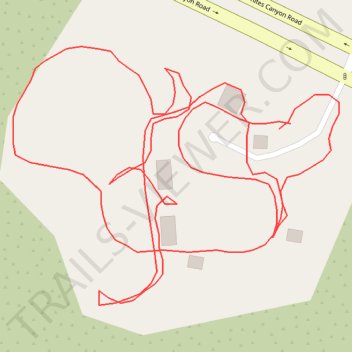
Interactive trail map
Thank you for supporting this site ❤️
Make a donation
Make a donation
Gear up for your next adventure:
As an Amazon Associate, this site earns from qualifying purchases at no extra cost to you.
Trail profile
- Distance: 0.6 mi
- Elevation gain: 22 m
- Maximum elevation: 466 m
- Elevation loss: 22 m
- Minimum elevation: 455 m
- Moving time: 16 m 7 s
- Moving speed: 2.3 mph
- Maximum speed: 4.0 mph
- Total time: 18 m 20 s
- Global speed: 2.0 mph
Thank you for supporting this site ❤️
Make a donation
Make a donation
Gear up for your next adventure:
As an Amazon Associate, this site earns from qualifying purchases at no extra cost to you.
About this trail
Name: Todd Longshore Park Loop Walk trail, distance, elevation, map, profile, GPS track
Coordinates: 34.43107 -118.47322 34.43214 -118.47159
Thank you for supporting this site ❤️
Make a donation
Make a donation
Gear up for your next adventure:
As an Amazon Associate, this site earns from qualifying purchases at no extra cost to you.