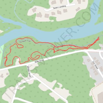
Salamander Ridge Loop Trail
- Distance: 1.5 mi
- Elevation gain: 7 m
- Maximum elevation: 34 m
- Elevation loss: 8 m
- Minimum elevation: 28 m
- Moving time: 32 m 23 s
- Moving speed: 2.8 mph
- Maximum speed: 4.1 mph
- Total time: 32 m 23 s
- Global speed: 2.8 mph
Interactive trail map
Trail profile
- Distance: 1.5 mi
- Elevation gain: 7 m
- Maximum elevation: 34 m
- Elevation loss: 8 m
- Minimum elevation: 28 m
- Moving time: 32 m 23 s
- Moving speed: 2.8 mph
- Maximum speed: 4.1 mph
- Total time: 32 m 23 s
- Global speed: 2.8 mph
About this trail
Name: Salamander Ridge Loop Trail trail, distance, elevation, map, profile, GPS track
Coordinates: 35.95555 -77.81293 35.95710 -77.80671