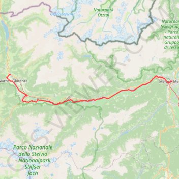
Etschradweg Vinschgau: Mals-Meran
- Distance: 39.0 mi
- Elevation gain: 249 m
- Maximum elevation: 1,038 m
- Elevation loss: 960 m
- Minimum elevation: 296 m
Interactive trail map
Trail profile
- Distance: 39.0 mi
- Elevation gain: 249 m
- Maximum elevation: 1,038 m
- Elevation loss: 960 m
- Minimum elevation: 296 m
About this trail
Name: Etschradweg Vinschgau: Mals-Meran trail, distance, elevation, map, profile, GPS track
Coordinates: 46.60990 10.53174 46.68725 11.15847