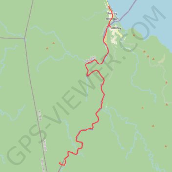
Umiray-Pilipit Boat Ride
- Distance: 20.3 mi
- Elevation gain: 361 m
- Maximum elevation: 94 m
- Elevation loss: 298 m
- Minimum elevation: 2 m
- Moving time: 3 h 6 m
- Moving speed: 6.5 mph
- Maximum speed: 31.3 mph
- Total time: 3 h 35 m
- Global speed: 5.6 mph
Interactive trail map
Trail profile
- Distance: 20.3 mi
- Elevation gain: 361 m
- Maximum elevation: 94 m
- Elevation loss: 298 m
- Minimum elevation: 2 m
- Moving time: 3 h 6 m
- Moving speed: 6.5 mph
- Maximum speed: 31.3 mph
- Total time: 3 h 35 m
- Global speed: 5.6 mph
About this trail
Name: Umiray-Pilipit Boat Ride trail, distance, elevation, map, profile, GPS track
Start: Malakwayan, Umiray, Dingalan, Aurora, Central Luzon, 3207, Philippines (15.23329 121.40807)
End: Dingalan, Aurora, Central Luzon, Philippines (15.06280 121.35212)
Coordinates: 15.05888 121.35123 15.23331 121.41259