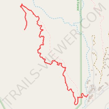
Chimney Rock hike
- Distance: 2.0 mi
- Elevation gain: 74 m
- Maximum elevation: 2,148 m
- Elevation loss: 194 m
- Minimum elevation: 1,967 m
- Moving time: 46 m 3 s
- Moving speed: 2.5 mph
- Maximum speed: 3.6 mph
- Total time: 1 h 6 m
- Global speed: 1.8 mph
Interactive trail map
Trail profile
- Distance: 2.0 mi
- Elevation gain: 74 m
- Maximum elevation: 2,148 m
- Elevation loss: 194 m
- Minimum elevation: 1,967 m
- Moving time: 46 m 3 s
- Moving speed: 2.5 mph
- Maximum speed: 3.6 mph
- Total time: 1 h 6 m
- Global speed: 1.8 mph
About this trail
Name: Chimney Rock hike trail, distance, elevation, map, profile, GPS track
Coordinates: 36.32944 -106.48447 36.34113 -106.47467