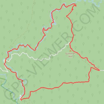
Collingwood Bulltown Circuit
Interactive trail map
Trail profile
- Distance: 14.9 mi
- Elevation gain: 1,079 m
- Maximum elevation: 1,165 m
- Elevation loss: 1,079 m
- Minimum elevation: 281 m
About this trail
Name: Collingwood Bulltown Circuit trail, distance, elevation, map, profile, GPS track
End: McMillans Road, Wongungarra, Shire of Wellington, Victoria, 3862, Australia (-37.33389 147.06739)
Coordinates: -37.35577 147.06650 -37.30297 147.13240